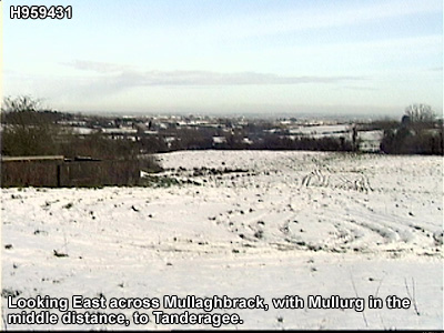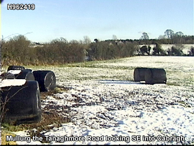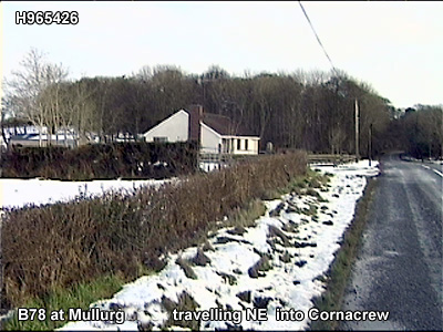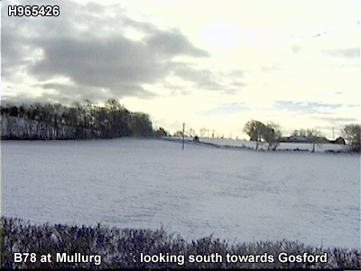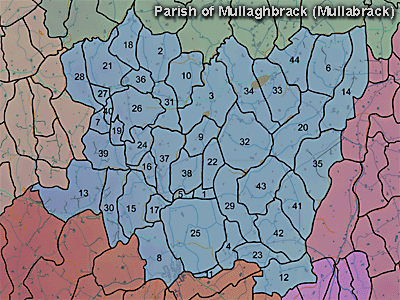
The townland of Mullurg is in the parish of Mullaghbrack in Armagh County. It is labelled number 38 on the map. H965424.
The 1826 Schools Commission report describes the school in the townland:
"Monlurg [sic]- A pay school under the care of Edmund Malone, of the Church of Ireland denomination, who was in receipt of 5-6l per annum. The school was held in a thatched cottage and provided education for 20 scholars. Mr.McCreight provided the school building."
The Environment and Heritage Service Sites and Monuments Record (2002) notes the following in this townland:
Rath of the Early Christian Period.
SMR NO: ARM 017:043
GRIDREF: H96374232
CONDITION: SOME REMAINS
"Although this site was almost certainly originally circular, the N side has been removed to make way for a farmhouse. The surviving D-shaped platform measures 44m E-W. On the W the interior stands c.2.5m above the base of ditch 1.5m wide & 0.75m deep. Towards E, the surrounding ground rises to become almost level with the interior of the monument. A modern drain has been excavated across the site from the house to a cess pit in the SE quadrant. "
PRONI records: OS/6/2/13/1 (Surveyed 1834-35. Engraved 1835.); OS/6/2/13/2 (Surveyed 1834-35. Revised 1860. Engraved 1863 (Stat file copy).); OS/6/2/13/3 (Surveyed 1834-35. Revised 1905-06. Published 1930.); OS/6/2/13/4 (Surveyed 1905-06. Revised 1954-55. Levelled 1888 and 1892 and 1902, 1905-1906. Levels part revised 1948. Published 1958. (2 copies).); OS/6/2/17/1 (Surveyed 1835. Engraved 1835.); OS/6/2/17/2 (Surveyed 1835. Engraved 1835. Revised 1860. Engraved 1863.); OS/6/2/17/3 (Surveyed 1835. Revised 1906. Published 1908. Reprinted 1929, 1932.); OS/6/2/17/4 (Surveyed 1906. Revised 1954-5. Levelled 1889, 1892 and 1906. Published 1958 (2 copies).); VAL/1B/213 (1st valuation records.); VAL/12B/10/24A, VAL/12B/10/24B, VAL/12B/10/24C, VAL/12B/10/24D (Valuation annual revision list.); VAL/2B/2/12A (Griffith valuation list.); T.579/44; T.955/21 (Landed estates rental.15 Feb. 1867).


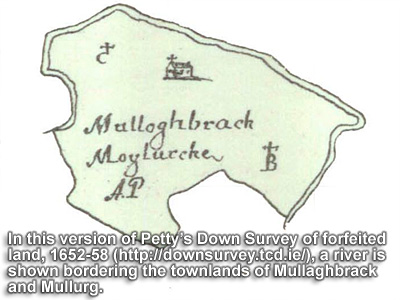
Mullurg and Mullaghbrack were the only townlands in the parish of Mullaghbrack forfeited to the British Crown in the 1650s.