 H998393
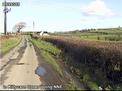
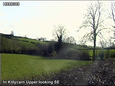
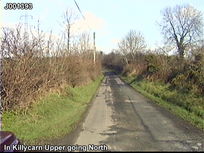
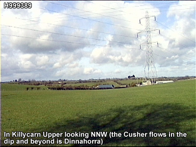
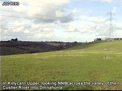
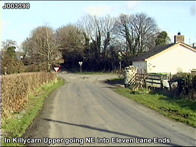
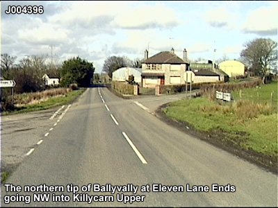
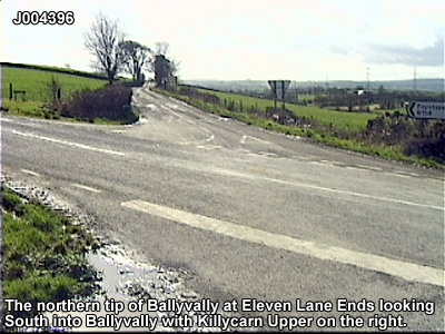
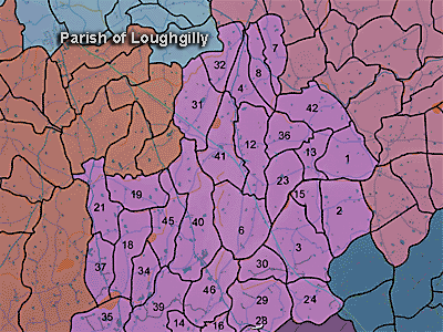
The townland of Killycarn Upper is in the parish of Loughgilly in Armagh County. It is labelled number 32 on the map.
The Environment and Heritage Service Sites and Monuments Record (2002) notes the following in this townland:
Rath of the Early Christian Period.
SMR NO: ARM 017:044
GRIDREF: H99253815
CONDITION: SOME REMAINS
"A circular earthwork is shown on the 1863 OS map but this has been extensively damaged by cultivation. A large perimeter bank, 3.7m wide x 1 .2m high above the interior survives around the SE where it has been incorporated into a field boundary, but elsewhere only a shallow scarp can be seen. The diam. NW-SE is c.49m. Traces of an external ditch can be seen around most of the circumference & in 2 places, S & E, it is preserved to a depth of 0.9m below ground level and is 3.4m wide.""The Grey Stone Field", formerly containing a standing Stone of uncertain, prehistoric origins
SMR NO: ARM 017:054
GRIDREF: H991386
CONDITION: DESTROYED
"In his notes, Paterson recorded that in Killycarn townland "the Grey Stone Field takes its name from a vanished standing stone" on the land of Mr.W. Flack JP. The site cannot be precisely located, but a valuation book shows that Mr. Flack owned property at the grid reference given below, and so the stone must have been nearby.
BIBLIOGRAPHY:
P.R.O.N.I. REF. VAL 12B/6/19E, 52
PATERSON,T.G.F. NOTES VOL.135.""Graveyard Field", a possible ecclesiastical site
SMR NO: ARM 017:059
GRIDREF: H9938
[possibly, the site of a church and graveyard] "Not precisely located.
BIBLIOGRAPHY:
PATERSON,T.G.F. NOTES VOL. 135"
PRONI records: OS/6/2/17/1 (Surveyed 1835. Engraved 1835.); OS/6/2/17/2 (Surveyed 1835. Engraved 1835. Revised 1860. Engraved 1863.); OS/6/2/17/3 (Surveyed 1835. Revised 1906. Published 1908. Reprinted 1929, 1932.); OS/6/2/17/4 (Surveyed 1906. Revised 1954-5. Levelled 1889, 1892 and 1906. Published 1958 (2 copies).); VAL/1B/219 (1st valuation records.); VAL/12B/15/19A, VAL/12B/15/19B, VAL/12B/15/19C, VAL/12B/15/19D, VAL/12B/15/19E (Valuation annual revision list.); VAL/2B/2/34A (Griffith valuation list.).
H998393