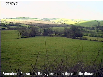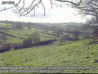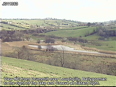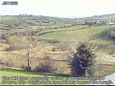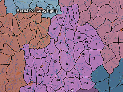
The townland of Ballygorman is in the parish of Loughgilly in Armagh County. It is labelled number 3 on the map. J016353
The Environment and Heritage Service Sites and Monuments Record (2002) notes the following in this townland:
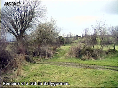
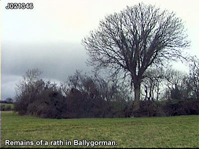
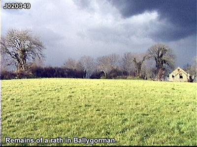
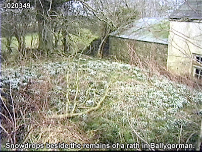
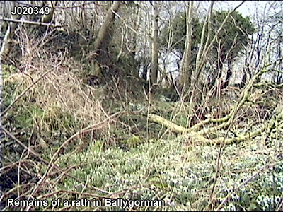
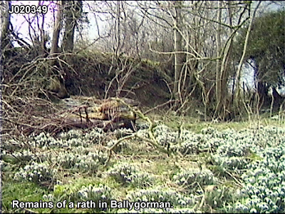
Rath of the Early Christian Period.
SMR NO: ARM 021:005
Irish Grid Reference: J01953437
Townland: BALLYGORMAN
CONDITION: some remains
Field reports of the 1960s describe a roughly circular enclosure raised c.1.5m above natural ground level. During agricultural improvements the E side was been removed. A semi-circular bank 4-5m wide, c.1.5m above the interior & c.2m above exterior survives around the W half. The bank becomes lower to S. The remains indicate a diam. of 39m. Earlier reports mention a ditch c.2.5m wide & 0.3m deep, but this has been filled. The interior is not as raised as the 60s report suggests, but it could refer to the E side.
PRONI records: OS/6/2/21/1 (Surveyed 1834-35. Engraved 1835.); OS/6/2/21/2 (Surveyed 1834-35. Engraved 1835. Revised 1860. Revisions engraved 1863.); OS/6/2/21/3 (Surveyed 1834-35. Revised 1906. Published 1908. Reprinted 1921.); OS/6/2/21/4 (Surveyed 1834-35. Revised 1906. Published 1908. (2 copies), Reprints 1934-1957.); OS/6/2/21/5 (Surveyed 1906. Revised 1955. Levelled 1889 and 1906. Published 1958.); OS/6/2/22/1 (Surveyed 1835. Engraved 1835.); OS/6/2/22/2 (Surveyed 1835. Engraved 1835. Revised 1861. Engraved 1863.); OS/6/2/22/3 (Surveyed 1835. Revised 1906. Published 1908 (2 copies - 1 reprint 1930 and 1 reprint 1930-1955.).); OS/6/2/22/4 (Surveyed 1906. Revised 1955. Levelled 1889 and 1906. Published 1959 (2 copies).); VAL/1B/219 (1st valuation records.); VAL/12B/15/19A, VAL/12B/15/19B, VAL/12B/15/19C, VAL/12B/15/19D, VAL/12B/15/19E (Valuation annual revision list.); VAL/2B/2/34B (Griffith valuation list.).
In the accompanying recording, John Magowan talks about his grandfather's uncle, the Reverend John Hall of Ballygorman, who was minister for the Presbyterian Church in Fifth Avenue, New York.
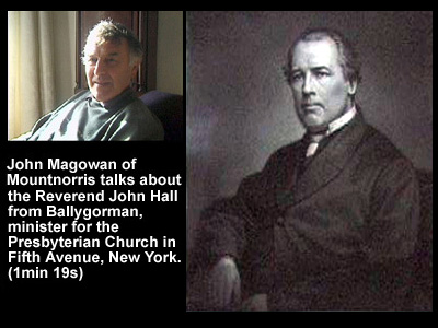
Use the audio controller to listen to this talk, given in 2003.