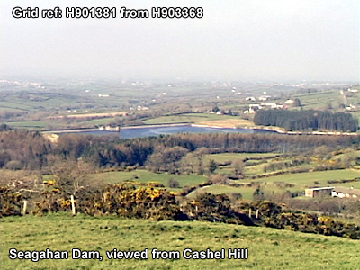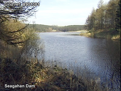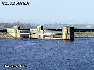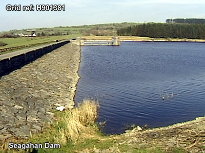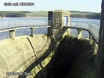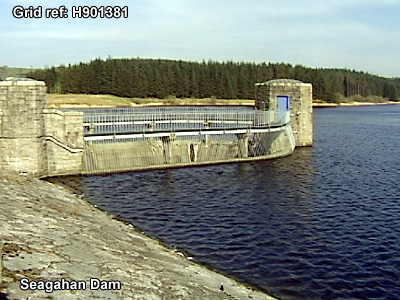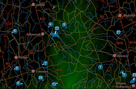
Seagahan Dam is labelled 22 on the map. It is West South West of Markethill.
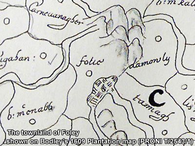
The dam when built absorbed Seagahan Lake. The lake is most likely the one indicated in Bodley's 1609 Plantation Map as bordering the townland of Foley, between Seagahan and Damoily, and overlooked by two high stretches, possibly those extending into Cashel Hill and Vicar's Carn.