LOUGH SHARK
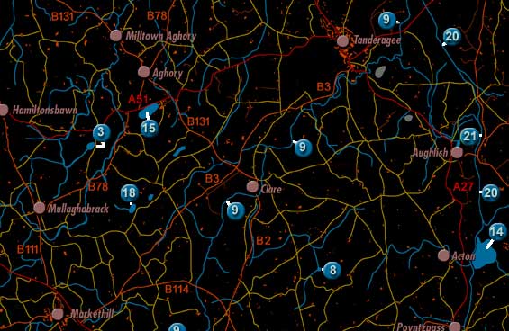
Lough Shark is labelled 14 on the map. It lies to the East of Markethill, outside the Markethill and District area.
The lake was described twice in 1838 in the Ordnance Survey Memoirs:
"The parish [of Ballymore] contains no lakes of any considerable magnitude.
The following are contained in it: nearly the western half of Lough Shark, situated
half a mile to the eastward of the village of Acton, its remaining or eastern
portion being in the county of Down. It is elevated to the height of 80 feet
above the level of the sea and its dimensions are as follows: extreme length
from north north east to south south west half a mile, and extreme breadth from
east south east to west north west a third of a mile."
"Lough Shark, partly in this county and partly in the county of Down, is
80 feet above the sea and is the summit level of the Newry Canal. 33 acres of
the lake are in this parish and county."