CUSHER RIVER

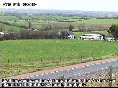
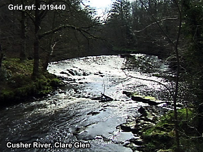
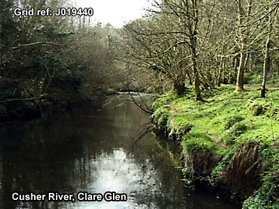
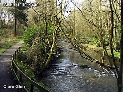
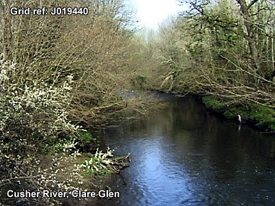
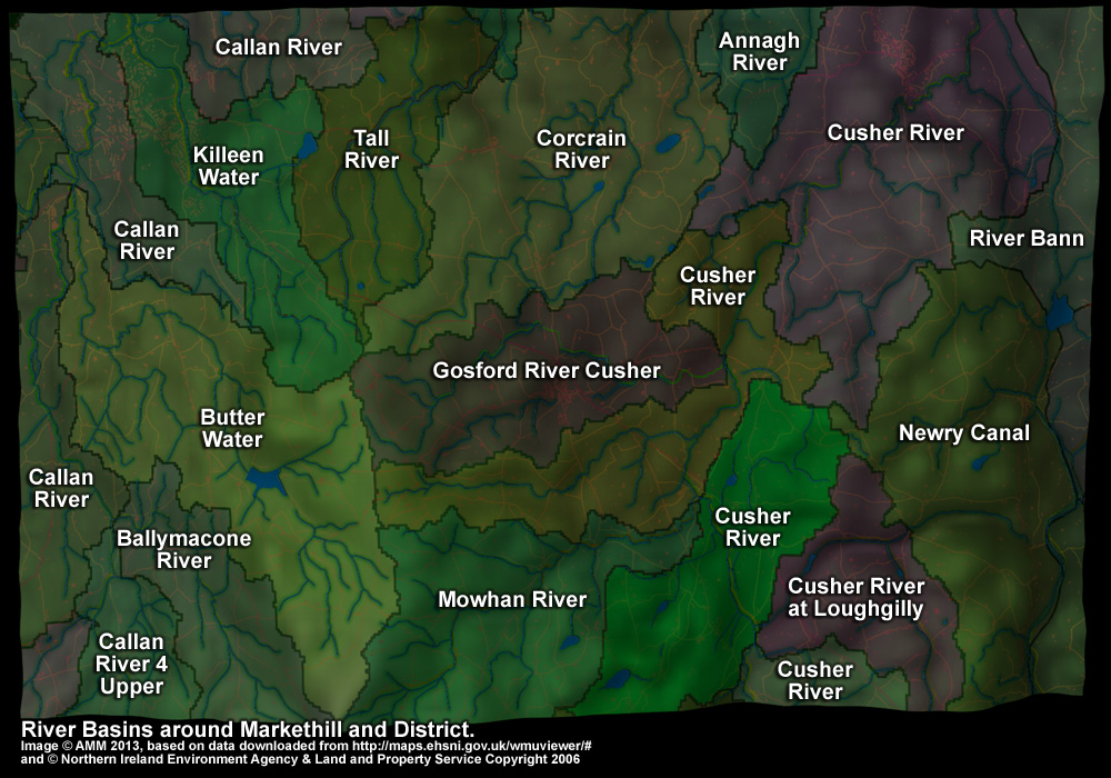
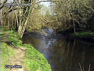
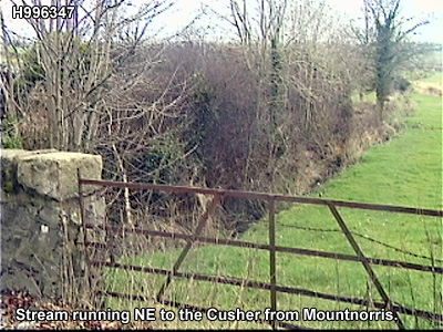
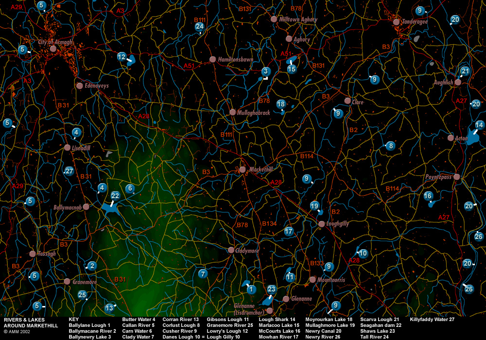
Cusher River is labelled 9 on the map. The name of the river is pronounced locally 'Cooser'.

The river was described in 1838 in the Ordnance Survey Memoirs describing the parish of Ballymore:
"The principal river in this parish [of Ballymore]is the Cusher river, which enters the parish at its most western point in the townland of Maymacullen and becomes the parish boundary in the west for little more than a mile. It 
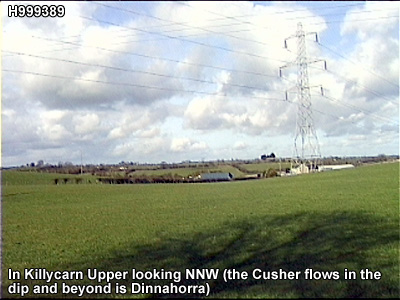
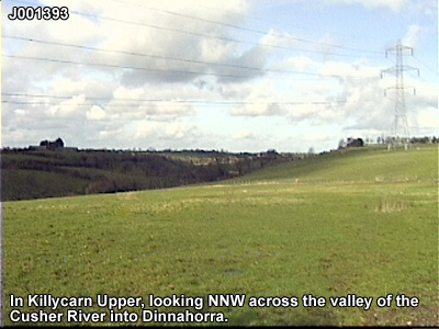
then takes a direction through the parish, being the boundary for various t[ow]nlands, for about 6 miles. It is very crooked but its general bearing is north east. Its height above the sea on entering the parish is 175 feet and on leaving it 53 feet. It varies in breadth, the average, perhaps, is 40 feet and depth 1 
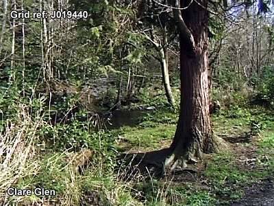
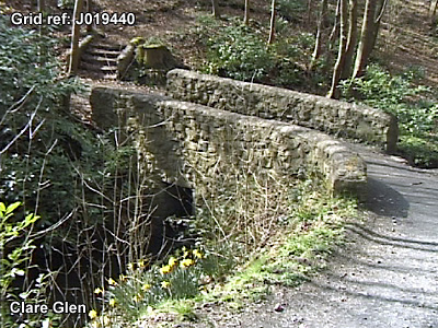
to 7 feet. Between the townlands of Clare, Moodge [Moodoge] and Druminure and 
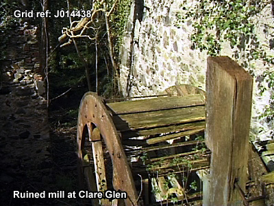
between Cargans and Tullyhue its banks are thickly wooded. It is well adapted 
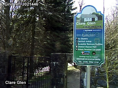
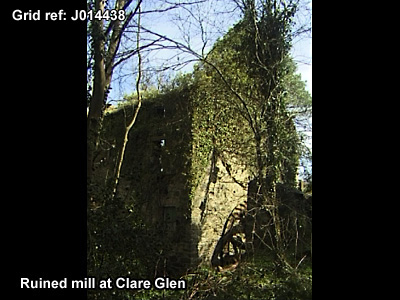
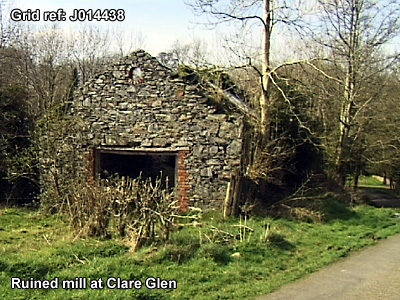
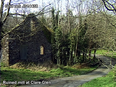
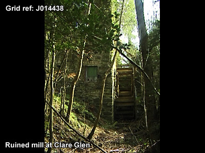
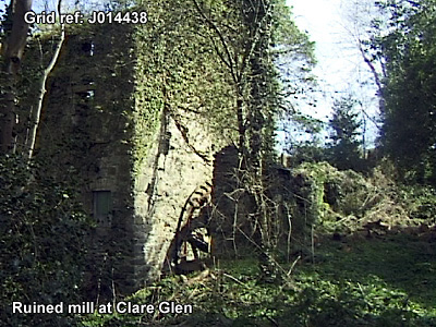
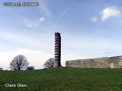
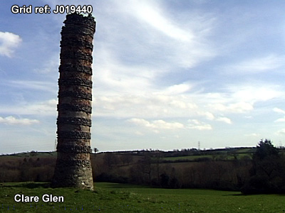
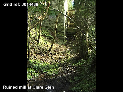
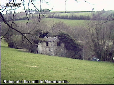
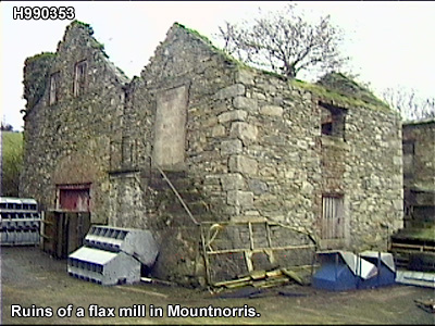
for mills, of which there are the following: in the townland of Clare a corn mill with kiln adjoining and a flax mill; in Ballyshielbeg a flax mill; in Druminure a corn mill; in Moodoge a corn and flax mill; in Mullinteer a spade foundry ; in Derryallen a flax mill and in Tullyhue a corn and flour mill. These mills are idle about 2 months in the year from the scarcity of water. It is subject to floods in winter when the low grounds through which it runs become flooded. The water of this river likewise supplies the Newry Canal by means of a feeder, an artificial cut commencing at the most eastern bridge near Tanderagee on the north side of the river. It runs through the centre of Cargans townland and enters Terryhoogan, where it crosses the ravine by means of an aquaduct 237 feet in length, supported on 12 arches about 20 foot rise. It enters the canal at the Wash bridge, its whole length being about 3 miles. The other small streams in the parish are not worth noticing in detail."

Map of rivers and lakes.


The Cusher River. The Cusher River.

The Cusher River. The Cusher River.

The Cusher River. The Cusher River.

The Cusher River. The Cusher River.

The Cusher River. The Cusher River.

The Cusher River. The Cusher River.

The Cusher River. The Cusher River.

Tandragee. The townland of xxxx.

The townland of xxxx. The townland of xxxx.


River basin map.


The townland of xxxx. The townland of xxxx.

The townland of xxxx. The townland of xxxx.

The townland of xxxx. The townland of xxxx.

The townland of xxxx. The townland of xxxx.

The townland of xxxx. The townland of xxxx.

The townland of xxxx. The townland of xxxx.

The townland of xxxx. The townland of xxxx.

The townland of xxxx. The townland of xxxx.

The townland of xxxx. The townland of xxxx.

The townland of xxxx. The townland of xxxx.

The townland of xxxx. The townland of xxxx.

The townland of xxxx. The townland of xxxx.

The townland of xxxx. The townland of xxxx.

The townland of xxxx.


The townland of xxxx. The townland of xxxx.


The townland of xxxx. The townland of xxxx.