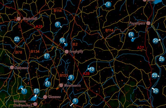
CORLUST LOUGH
Corlust Lough is labelled 8 on the map.
The
lake was described twice in 1838 in the Ordnance Survey Memoirs:
"...a lake situated 2 miles west of the village of Acton, in the townlands
of Corlust and Ballyargan and Crewbeg [in the parish of Ballymore], elevated
258 feet above the level of the sea, extreme length from north to south 418
yards, extreme breadth from east to west 285 yards..."
"[Corlust Lough] in the north west side of Crubeg at its junction with
Ballyargin and Curlusk contains about 14 and a half acres."