The area which we know today as Markethill and district was not of interest to very early mapmakers (cartographers). Early maps usually contain very little information: only the biggest and most important geographical features were noted, sometimes with the names of people or families who lived in or controlled an area.
In the 2nd Century A.D., the Greek astronomer Ptolemy gathered information to construct a map of the world as it was known then. The information he received from travellers to Ireland has survived and was sufficient for early European mapmakers to make simple but historically valuable maps of Ireland. In these Ptolemaic maps, all that is noted about our area was that it was part of a larger region, inhabited by a people or tribe called (in Latin) the Voluntii. Scholars have suggested that the Voluntii were known as the Uluti, or Ulaid, in Old Irish, and from them the province of Ulster gets its name.
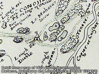
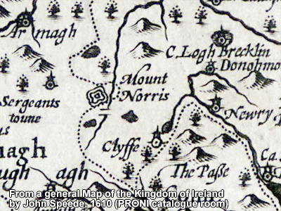
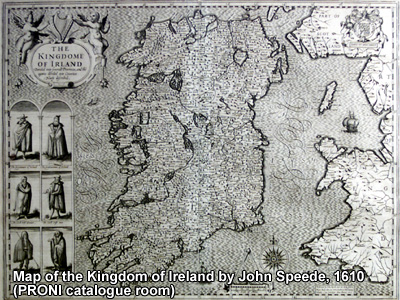
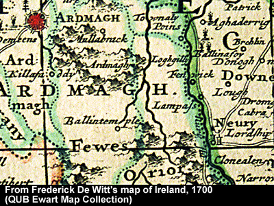
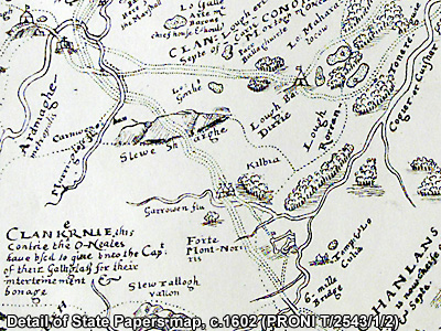
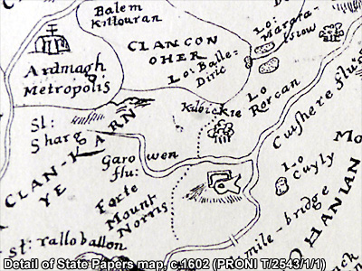
Maps of Ireland did not improve greatly until the sixteenth century when Elizabethan surveyors applied more scientific methods to their map-making. The purpose of their work in Ireland was, of course, to enable English armies to conquer and control the country. However, no feature of our area, apart from the nearby locations of Armagh and Newry, struck them as sufficiently important to record. It was only during the Nine Years War at the end of the sixteenth century and the beginning of the seventeenth century, that the military and strategic importance of the area made itself felt. Some embarrassing military defeats suffered by the English, moving troops and supplies along the roads from Newry and Dundalk to Armagh, made the need to control the area vital.
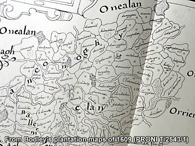
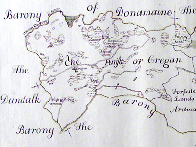
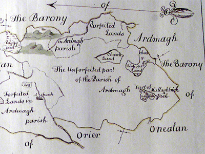
For this reason, when the plan was devised in 1609 to remove the native Irish from the land, the mapmaker's art was needed in deciding where to settle the incoming English and Scots planters. Mapmaking was also vital in determining where to build new forts to shorten lines of communication and to protect the important Newry-to-Armagh and Dundalk-to-Armagh supply routes.
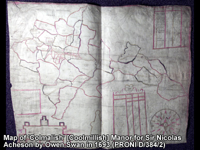
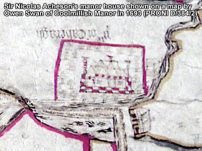
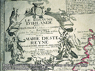
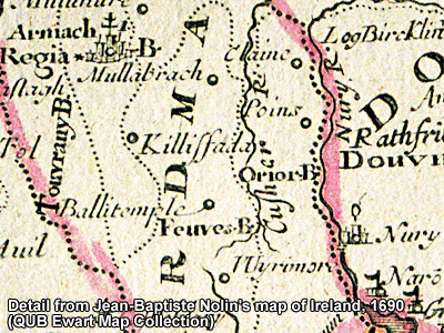
The success of the Plantation of Ulster was only secured near the end of the seventeenth century, when the Protestant King William defeated the Catholic King James II. The new regime was then able to civilly develop the area at an increased rate, --something reflected in the growing number of maps produced for peaceful purposes.